The Bosphorus Strait – prof. Cristina Mihălțeanu
The Bosporus and Dardanelles straits, which connect the Black Sea to the Mediterranean Sea, serve as the maritime access routes for the countries bordering the Black Sea. For centuries, they have played a crucial role in European navigation, being considered perhaps the most important in the world not only because they were easy to navigate but also because they separate two continents: Europe and Asia. The straits became even more significant after the opening of the Suez Canal. The maritime route through the straits intersected with the land route between Europe and Southwest Asia, both representing the most important trade routes in history. It is no wonder that the history of these straits has been so full of events, conflicts, and diplomatic or armed struggles, driven by the interests in controlling them.
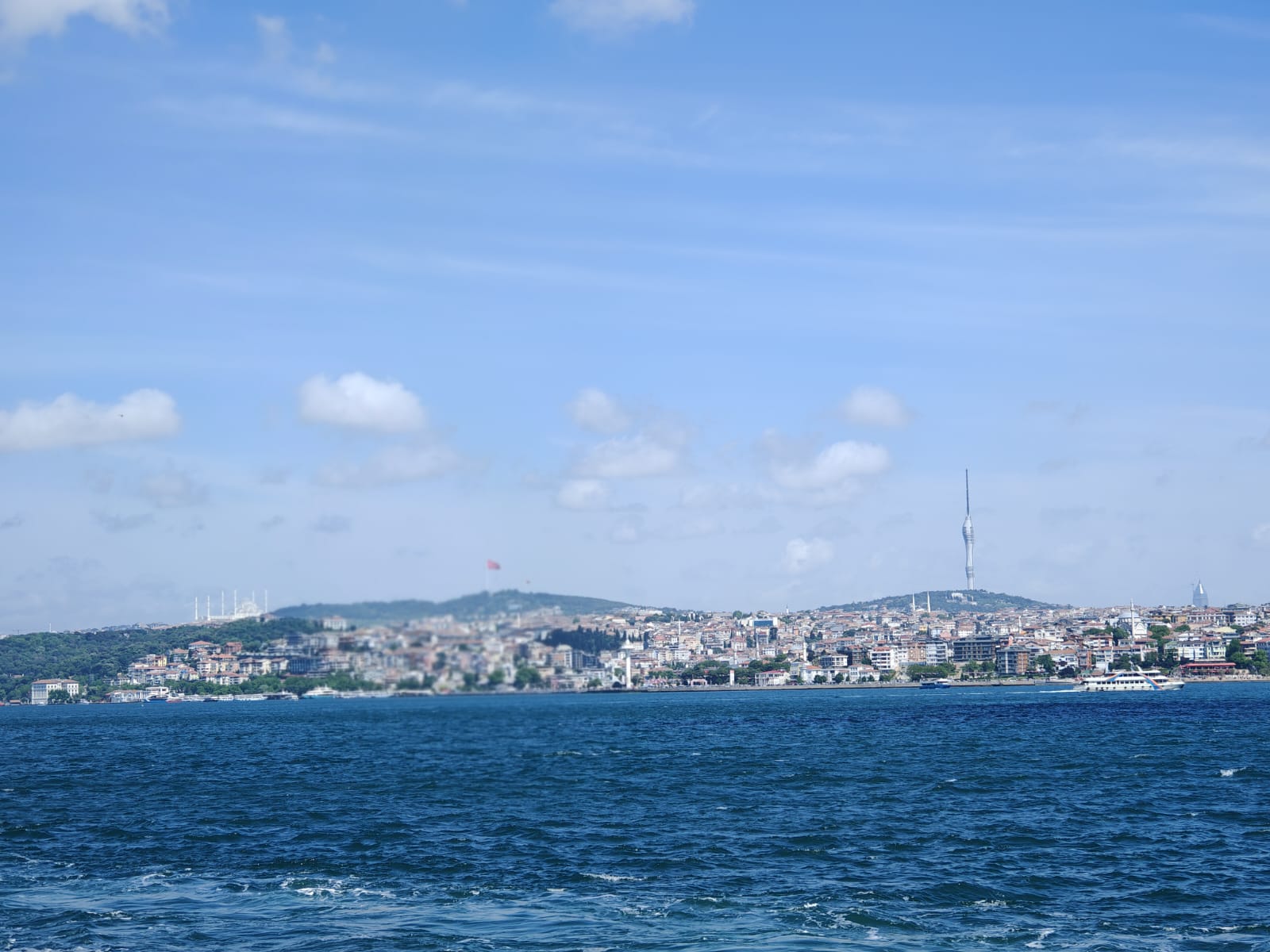
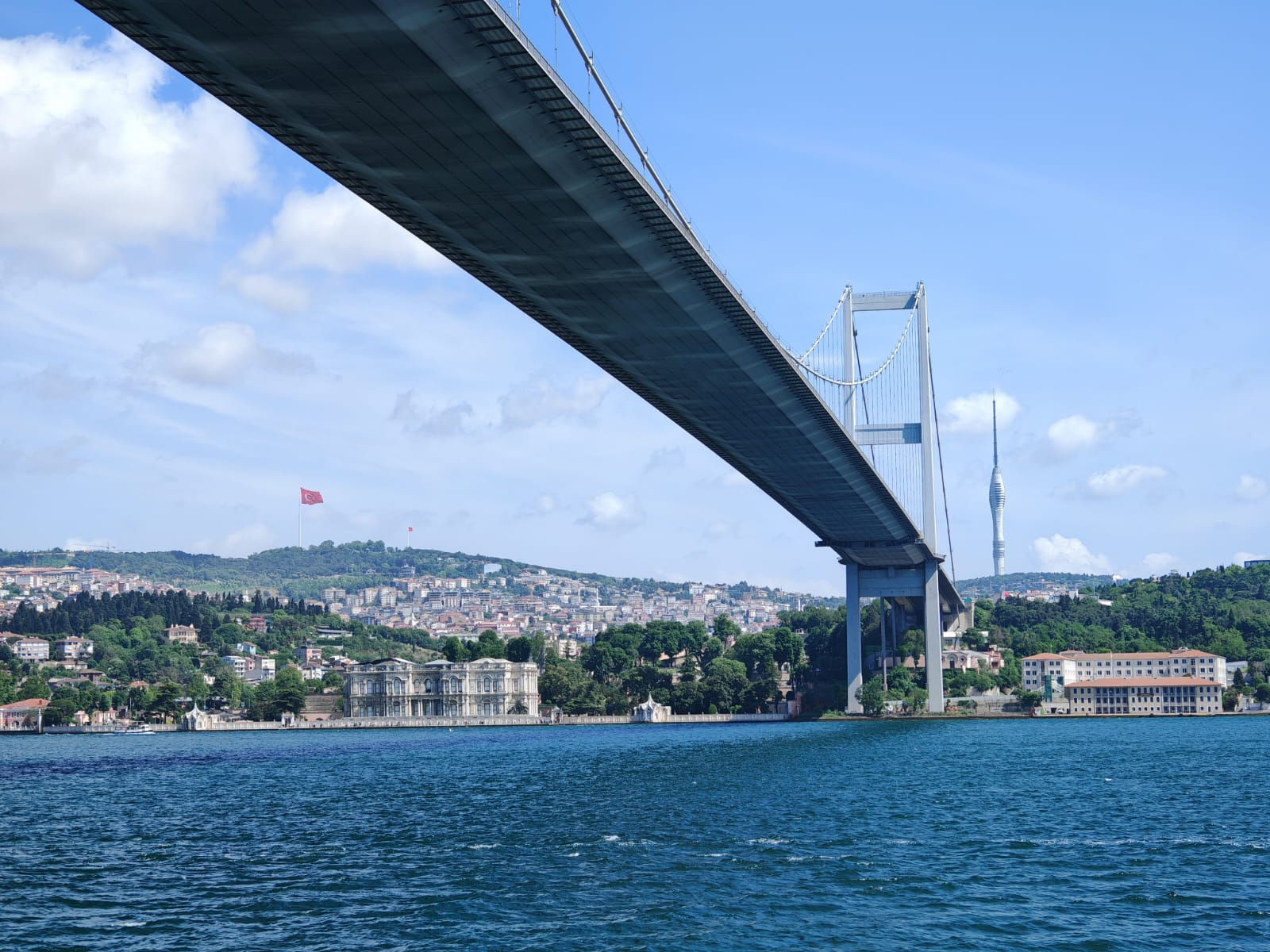
The Bosporus (Istanbul Strait – Istanbul Boğazi) is a natural channel nearly 32 km long and an average of 1.5 km wide. At the entrance from the Black Sea, its width is 4.7 km, and at the exit to the Sea of Marmara, it is 2.5 km. At its narrowest point, the channel does not exceed 600 m. Regarding its depth, towards the north, towards the Black Sea, it reaches a maximum of 120 m, while the minimum depth is towards the south, at the exit to the Sea of Marmara, where it is 36 m.
Throughout its course, the Bosporus Strait, with its numerous meanders, resembles a marine river. At its end towards the Sea of Marmara, on the European shore, a lateral branch opens from the main channel, known as the "Golden Horn," named by the Byzantines because of its shape. It penetrates inland for a distance of 7.5 km, with a width of 350 – 900 m, and a depth of 20 m. This branch is well protected from wind, waves, and currents.
The same cannot be said for the strait itself. Given that the strait is very narrow and winding, the currents through which water exchange occurs between the Black Sea and the Mediterranean acquire particular characteristics: the water current from the Black Sea moves towards the Mediterranean on the surface, while from the Mediterranean towards the Black Sea, it moves at depth.
The surface current is a "discharge" current, transporting a larger volume of water than the submarine one, with moderate salinity (18 – 19‰) and lower temperature. Its speed is quite high, which created difficulties for ancient navigators entering the Black Sea.
The fresh waters received by the Black Sea from river input and rain are deflected to the right by the Earth's rotation, forming a circular current along the Romanian and Bulgarian coasts. Because of this, in front of the strait, there is a significant accumulation of water that cannot be entirely evacuated. Some of it enters the strait, ensuring drainage towards the Mediterranean, while the rest continues along the southern coast of Anatolia. This is the origin of the circular current in the Black Sea.
However, the Bosporus manages to drain a significant amount of water towards the Mediterranean, estimated at 146.6 km³/year, which would mean 4650 m³/s.
As for the deep current, it has much lower intensity. Its volume is half that of the surface waters. The flow difference between the surface current and the submarine one oscillates between 20,000 m³/s at the entrance from the Black Sea to the Marmara and 15,000 m³/s in the opposite direction.
Due to the low flow rate of the deep waters entering from the Mediterranean, the waters of the Black Sea cannot be refreshed annually as the surface waters are, due to the significant contribution from rivers and rainwater.
The waters of this current are warmer and saltier, reaching a concentration of 37 – 38‰. The neutral surface that separates the two overlapping currents is at a depth of 51 m at the entrance to the Black Sea and 15 m at the exit from the Black Sea towards the Sea of Marmara. This indicates that the thickness of the surface current decreases towards the Sea of Marmara, while that of the submarine current increases towards the Black Sea. This phenomenon is also due to the topography of the strait's bottom, whose depth increases towards the Black Sea. It is important to note that the transport of water from one sea to another by the two overlapping currents occurs without mixing of the waters.